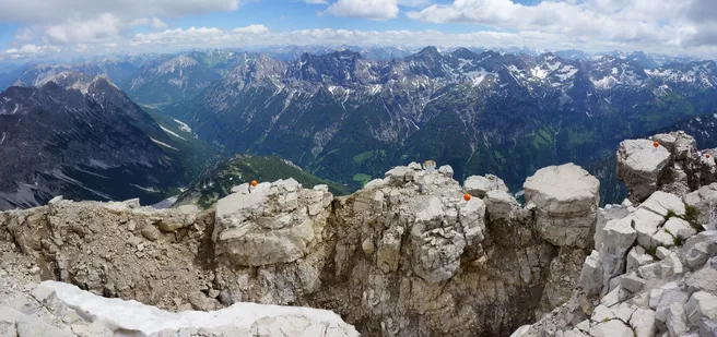
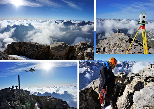
On Friday the 15.06.2018 a fair weather window was used to geodetically measure the summit area and the summit ridge on the Hochvogel. In addition, the first measurements with a Gravimeter were carried out and more convergence lines were measured. In total six researchers from the AlpSenseBench-project were flown to the summit together with material and equipment in order to carry out their field work.
Munich Alpine Hazards and Mitigation Cluster (AlpHaz)
Geodetic Messurements at the Hochvogel (AlpSenseBench)