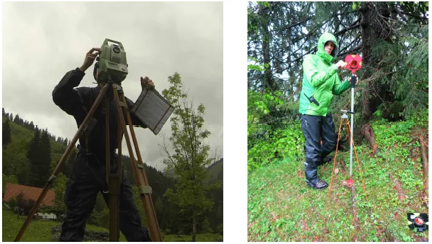
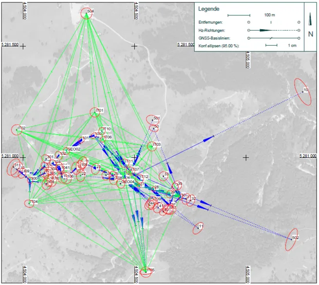
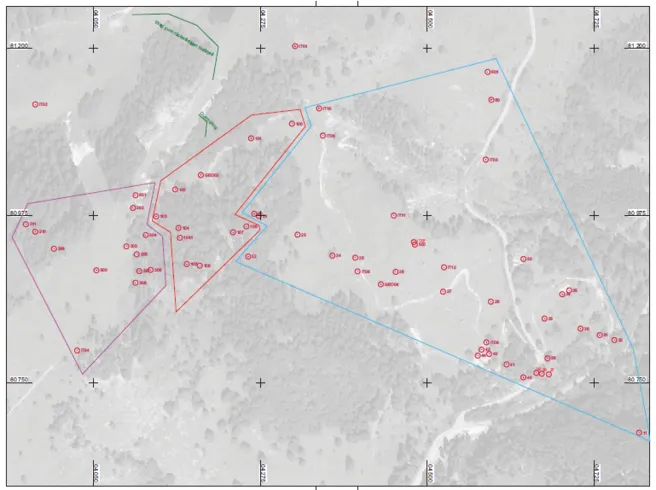
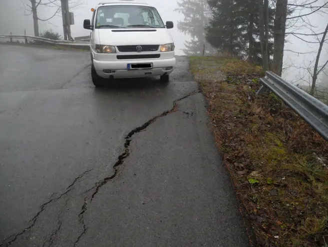
This thesis gives an overview of deformation measurements carried out in the Aggenalmrutschung monitoring network and its geology. Measurement projects of different institutions and the resulted elements of the point field in the geodetic network will be explained. Existing data from epoch-wise deformation measurements, which led to difficulties in processing are documented and analyzed. Based on created documentation and conclusions from earlier epochs a hybrid measurement campaign with GNSS-baselines and terrestrial observations is planned in detail and executed. Particular attention is paid to a reliable and verifiable measurement concept. Areas, that are geologically interesting and important for describing the deformation behavior, are integrated in the geodetic network.
Contact: Dipl.-Ing. Christoph Reith, Chair of Geodesy


