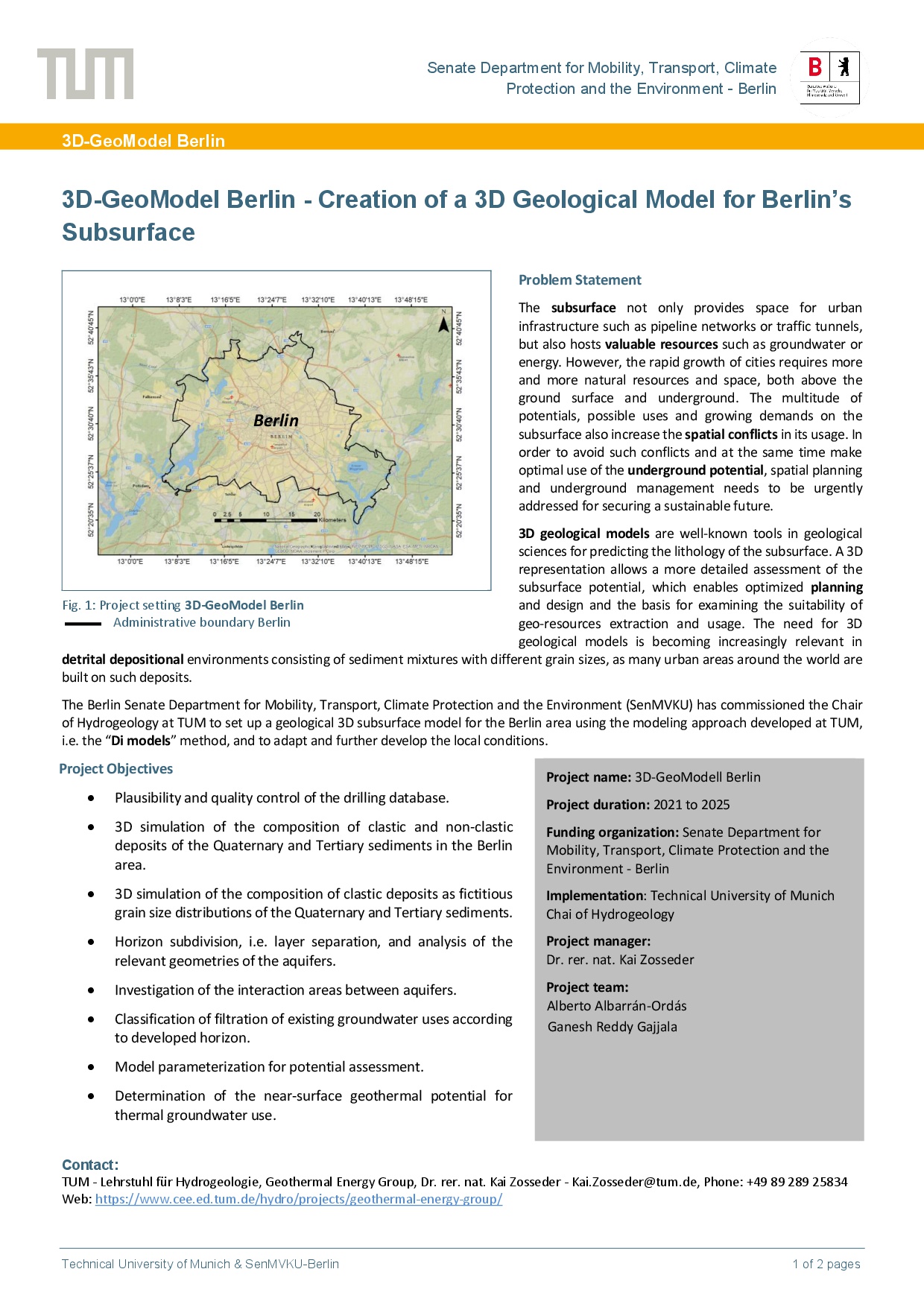
3D-GeoModel Berlin - Creation of a 3D Geological Model for Berlin’s Subsurface

The subsurface not only provides space for urban infrastructure such as pipeline networks or traffic tunnels, but also hosts valuable resources such as groundwater or energy. However, the rapid growth of cities requires more and more natural resources and space, both above the ground surface and underground. The multitude of potentials, possible uses and growing demands on the subsurface also increase the spatial conflicts in its usage. In order to avoid such conflicts and at the same time to make optimal use of the underground potential, spatial planning and underground management needs to be urgently addressed for securing a sustainable future.
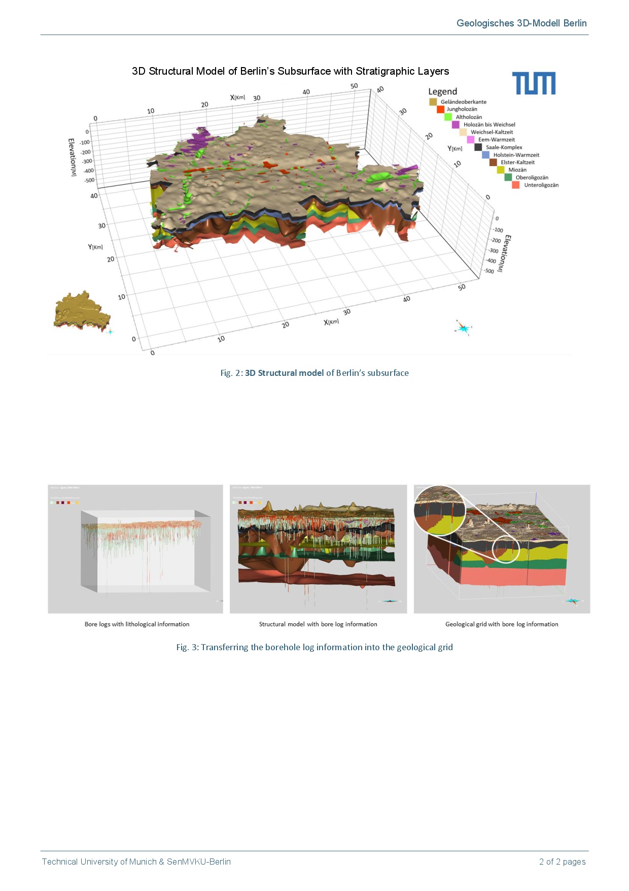
3D geological models are well-known tools in geological sciences for predicting the lithology of the subsurface. A 3D representation allows a more detailed assessment of the subsurface potential, which enables optimized planning and design and the basis for examining the suitability of geo-resources extraction and usage. The need for 3D geological models is becoming increasingly relevant in detrital depositional environments consisting of sediment mixtures with different grain sizes, as many urban areas around the world are built on such deposits.
The Berlin Senate Department for Mobility, Transport, Climate Protection and the Environment (SenMVKU) has commissioned the Chair of Hydrogeology at TUM to set up a geological 3D subsurface model for the Berlin area using the modeling approach developed at TUM, i.e. the “Di models” method, and to adapt and further develop the local conditions.
Contributions to SDG


Project duration
01.04.2021 - 30.09.2025
Related projects
Project Overview
Download hier